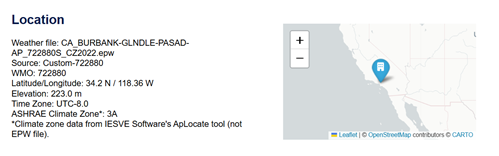
This section provides a summary of the geographic and data source information for the project. It includes the specific weather file used (e.g., EPW format), its source, the WMO station number, coordinates (Latitude/Longitude), elevation, and the Time Zone
The report also identifies the ASHRAE Climate Zone derived from the IESVE software’s ApLocate tool. A map image is included to visually confirm the site’s location.